The excavation for the new tower at Winthrop Square required a 75-foot-deep cut directly adjacent to a century-old MBTA tunnel, where any unplanned movement could have shut down the Orange Line. Boston’s subsurface, a chaotic mix of glacial till, Boston blue clay, and urban fill dating back to the 1600s, makes this level of precision non-negotiable. Our monitoring approach integrates automated total stations with in-place inclinometers and piezometers to track wall deflection and groundwater drawdown in real time. This continuous data stream allows the design-build team to verify that the earth support system performs within the allowable deformation limits set by the project’s deep excavations analysis, which always accounts for the stiff clay layers that can rebound unexpectedly once the overburden is removed.
Real-time deflection data is not just a safety check; it’s a tool to optimize the construction sequence and back up value engineering claims with measured performance.
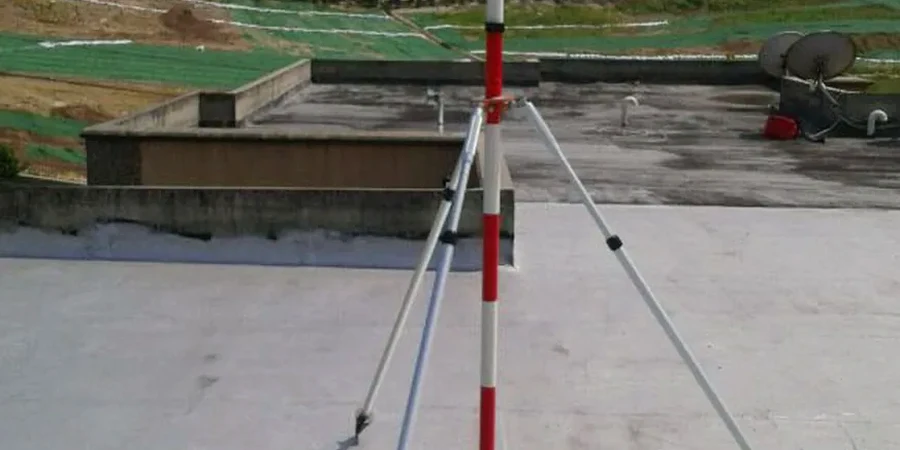
Site-specific factors
The contrast between a site in the Back Bay, built on filled tidal marshes, and one in Roxbury, sitting on dense glacial till, illustrates the range of excavation risk across just four miles. In the Back Bay, the primary concern is consolidation settlement; as pore pressures drop, the organic silts compress, pulling adjacent foundations downward in a slow, wide-area bowl. In Roxbury, the challenge is boulder obstruction and hardpan that can damage augers, but the ground loss around the excavation is minimal. A monitoring plan that treats both sites identically would either be dangerously thin on instrumentation in the fill or waste budget on redundant sensors in the till. Our approach starts with a desktop review of USGS quadrangle maps and historic Sanborn fire insurance atlases to trace any buried seawalls or piers that could create preferential groundwater paths, then layers in the appropriate sensor density.
Questions and answers
What is the typical cost range for excavation monitoring on a mid-rise project in Boston?
For a standard 3-to-5-story excavation in neighborhoods like South Boston or Fenway, monitoring programs typically range from US$880 for a short-duration tiltmeter and crack gauge survey to US$2,600 for a comprehensive 3-month package including automated total station readings, inclinometer casings, and vibration monitoring. The final scope depends on the proximity to MBTA assets and the depth of the cut.
How does the local geology, especially Boston blue clay, affect the monitoring plan?
The Boston blue clay is a marine deposit with high sensitivity and a tendency to creep under sustained load. Monitoring must prioritize pore-water pressure dissipation because undrained loading during excavation can mask developing failure planes. Piezometers are typically read at least twice daily during active digging, and the data is plotted against the excavation sequence to identify any lag in consolidation that might signal a stability issue.
What instrumentation is required when excavating next to a historic masonry building?
Historic masonry, like that found in Beacon Hill or the North End, tolerates very little angular distortion. We install optical prisms on the facade at multiple elevations and supplement them with wireless crack meters across existing fractures. A baseline condition survey is performed before any equipment mobilizes, and the monitoring firm sets a yellow-alert threshold at 50% of the predicted movement from the project’s slope stability and shoring analysis.
How quickly can you deploy a monitoring system if unexpected movement is detected during construction?
Within 24 hours, a field team can install a basic array of survey targets, a robotic total station, and several inclinometer probes to begin tracking movement. If the site is in a high-traffic corridor like the Seaport, we coordinate off-hours installation and can often have data streaming to the project engineer by the following morning’s progress meeting, with initial trend analysis delivered within 48 hours.